About Us

About Us
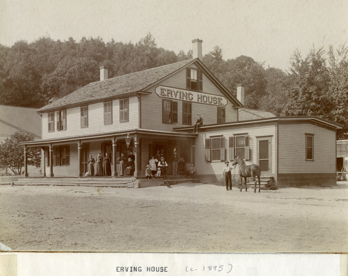 The Town of Erving has the distinction of being the last Franklin County Town to be incorporated, which occurred in 1838. Our physical boundaries are the Millers and Connecticut Rivers and the Towns of Northfield, Warwick and Orange. We are bisected by two major routes - Route 2, which is located on our southern boundary and Route 63, which is located on our western boundary.
Our population from the 2010 U.S. Census is 1,800. Our Town is 14.39 square miles in area. Erving is a mix of residential homes, small and large businesses, restaurants, recreational and tourist destinations and large tracts of open farmland and forest.
Erving State Forest, which includes Laurel Lake, is located within the boundaries of the Town of Erving. Erving State Forest has over 1,895 acres of land that include hiking trails, camping sites, fishing, boating, snow shoeing and picnicking.
 Welcome to Our New Website!
Please explore our website to learn more about our town's history, government, schools, businesses and many other points of interest.
If you have any suggestions or question please Contact Us.